
California's Highway 1 between San Francisco and Los Angeles is the road trip other road trips are measured against: cliffs, fog, bridges, sea lions, and a lane that hangs over the Pacific for hours. The whole run is about 750 km and two days is the honest minimum, three if Big Sur is going to get what it deserves.
Drive it north to south
Southbound puts your side of the car on the ocean: every pull-out is a right turn, every view is out your window, and left turns across traffic stop being a theme of the trip. Fog burns off the coast by late morning in summer (June overcast is real enough to have a nickname), so aim to be in Big Sur for the afternoon and evening light.
The stops in order
- Half Moon Bay and Pescadero: the warm-up coast, plus artichoke bread at the farm stands.
- Santa Cruz to Monterey: boardwalk kitsch, then Cannery Row and the aquarium if you have the hours.
- 17-Mile Drive and Carmel: the toll loop is pretty; Point Lobos next door is prettier and wilder.
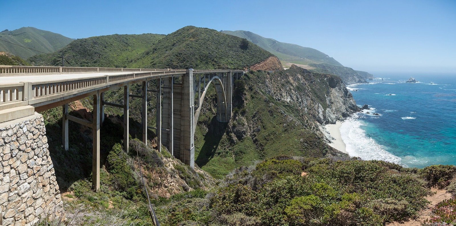
- Bixby Creek Bridge: the postcard. The pull-outs fill by mid-morning in summer.
- McWay Falls: an 80-foot waterfall onto a beach you cannot reach, which is somehow the point.
- Elephant seals at Piedras Blancas: hundreds of them, free, right off the highway near San Simeon.
- Hearst Castle: book the tour ahead if you want the full folly.
- Morro Bay to Santa Barbara: the gentle landing, wine country detours optional.
Location: Bixby Creek Bridge, Big Sur
Location: Piedras Blancas elephant seal rookery
The Big Sur asterisk
Big Sur's cliffs are geologically busy: slides close sections of Highway 1 regularly, sometimes for months. Check Caltrans before you plan and again before you drive. A closure does not kill the trip; it usually means an inland detour on US 101 and rejoining the coast further south, but you want to know at breakfast, not at the roadblock.
Check it and book it
- Caltrans road conditions Live status for Highway 1. The first stop for any Big Sur plan. https://roads.dot.ca.gov
- ReserveCalifornia State park camping along the coast, including the Big Sur campgrounds. https://www.reservecalifornia.com
- Hearst Castle Tour times and tickets, which sell out in summer. https://hearstcastle.org
Common questions
- How many days do you need for the Pacific Coast Highway?
- Two full days is the minimum for San Francisco to Los Angeles with real stops; three days is comfortable and gives Big Sur an overnight. As a day trip it collapses into driving and regret.
- Which direction is best for driving Highway 1?
- North to south. Southbound your car is on the ocean side of the road, so every viewpoint pull-out is an easy right turn and the coast is out your window rather than across the oncoming lane.
- Is Highway 1 through Big Sur open?
- It changes. Landslides close sections of the Big Sur stretch fairly regularly, with inland detours posted. Check the Caltrans road conditions page for Highway 1 in the days before you drive, and once more the morning of.
Tip
Planning the days around a closure or a fog forecast is exactly what a road trip planner with per-day routing is for.