

Put the trail on the day
Import a GPX or KML file and the hike lands in your itinerary as the route itself, drawn on the map through every switchback. Distance and total climb are measured from the file’s own track, not typed in by hand. Route import is free on every plan.
Time estimates that respect the climb
A flat 10 km and a 10 km with 800 m of ascent are different days. Treader estimates each hike from its distance plus its climb, then scales it by the walking pace you set, so the plan reflects how your group actually moves.
Respect the daylight
Every day knows its sunrise and sunset, and the plan warns you when a day is set to run past dark. Trailheads, viewpoints, and campgrounds are first-class map categories, with the day’s weather right beside them. Pro saves the map around every stop and along the roads between them to your phone, so the trailhead still draws where the signal ends, and on Discovery a camp stop at a US federal campground can watch recreation.gov for an opening when the site you wanted is sold out.
City days and trail days in one plan
Fly in, two city days, a drive, three days on trail, and the flight home: that is one trip, and Treader plans it as one. Everyone you invite joins the same live map for free, comments sit on the stop they are about, and on Pro the costs split between people as you spend.
- Free: up to 50 trips of up to 7 days, 1 co-editor per trip, GPX import included
- Pro: trips up to 30 days, 3 co-editors, packing lists, offline map, $4.99 CAD a month
- Discovery: trips up to 60 days, 10 co-editors
Start from a ready-made trip
Every stop on a map, day by day. Open one to read it in full, then copy it into your own account and change what you like.
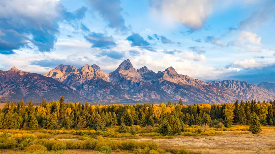 Long weekend
Grand Teton in 3 days
Grand Teton National Park, Wyoming
3 days · 16 stops
Start from this trip: Grand Teton in 3 days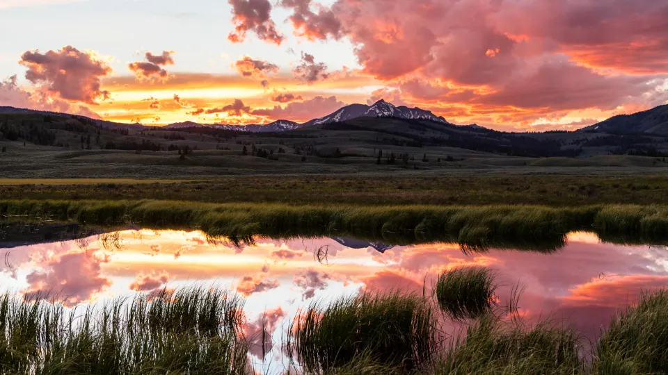 Long weekend
Yellowstone in 4 days
Yellowstone National Park, Wyoming
4 days · 17 stops
Start from this trip: Yellowstone in 4 days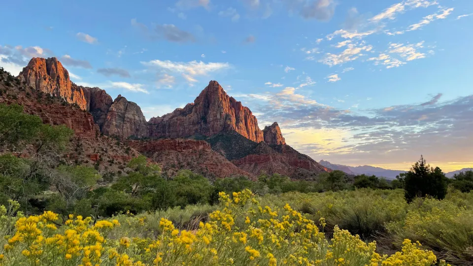 Long weekend
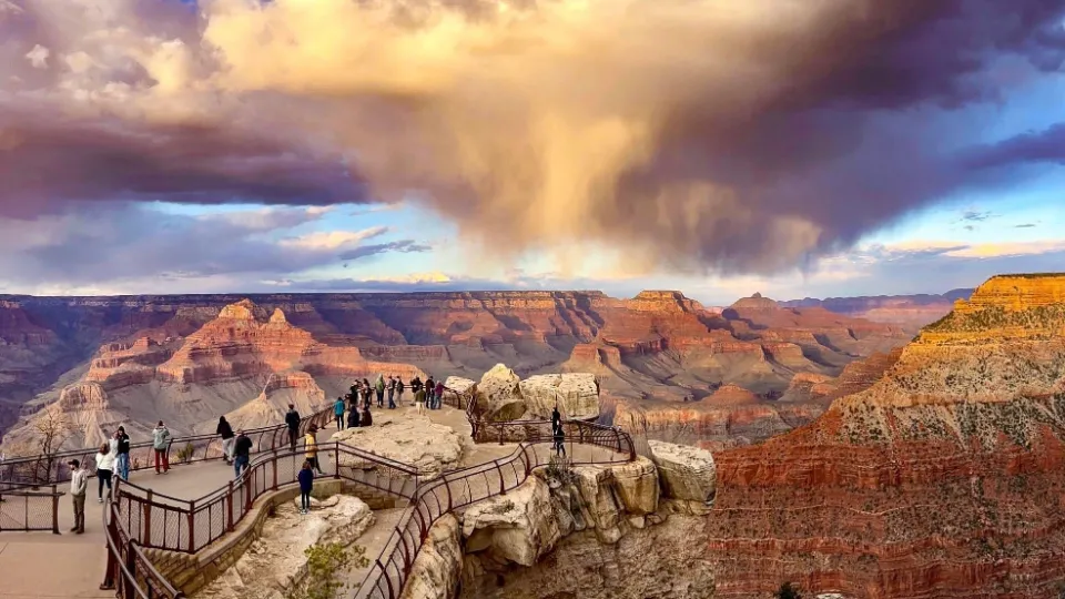 Long weekend
Grand Canyon South Rim in 3 days
Grand Canyon National Park, Arizona
3 days · 13 stops
Start from this trip: Grand Canyon South Rim in 3 days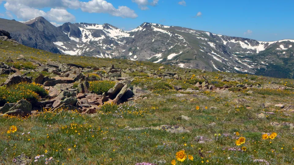 Long weekend
Rocky Mountain in 3 days
Rocky Mountain National Park, Colorado
3 days · 14 stops
Start from this trip: Rocky Mountain in 3 days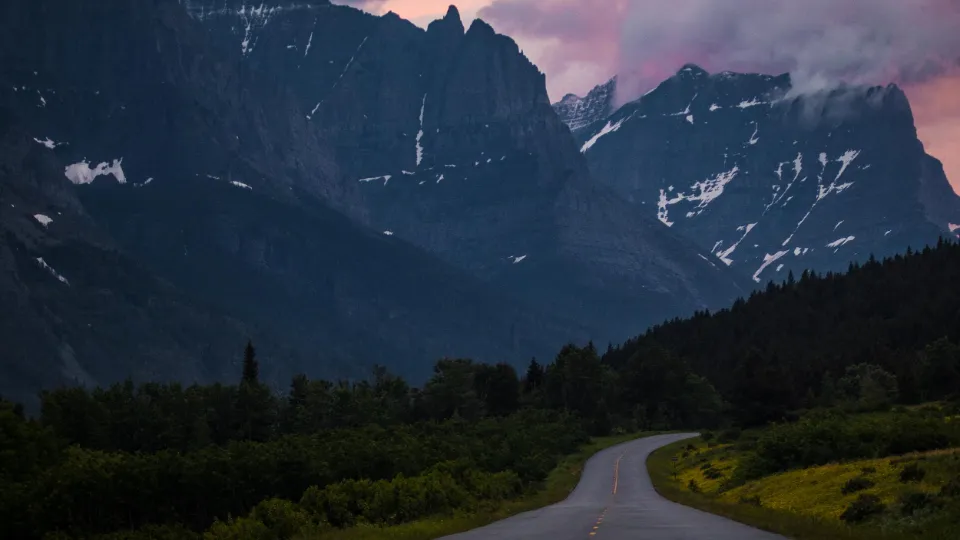 Long weekend
Glacier in 3 days
Glacier National Park, Montana
3 days · 13 stops
Start from this trip: Glacier in 3 days
Frequently asked questions
What route files can I import?
GPX and KML, the formats every trail site and GPS app exports. The import reads the track’s own coordinates and elevation, so distance and climb come from the route you will actually walk.
How does Treader estimate hiking time?
From the route’s distance plus its total climb, using the standard Naismith walking rule, scaled by a walking pace you set once in Settings. A fast group and a slow group get different numbers, as they should.
Is the route import a paid feature?
No. Importing GPX and KML routes works on every plan, including free. Pro adds the generated packing list, place details and photos, and an offline pack of the trip for days without signal.
Can I plan the non-hiking parts of the trip too?
Yes, that is the point. Flights, city stops, restaurants, drives, and trail days all live in the same itinerary on the same map, so the hike is planned against the real day around it.