
On this page
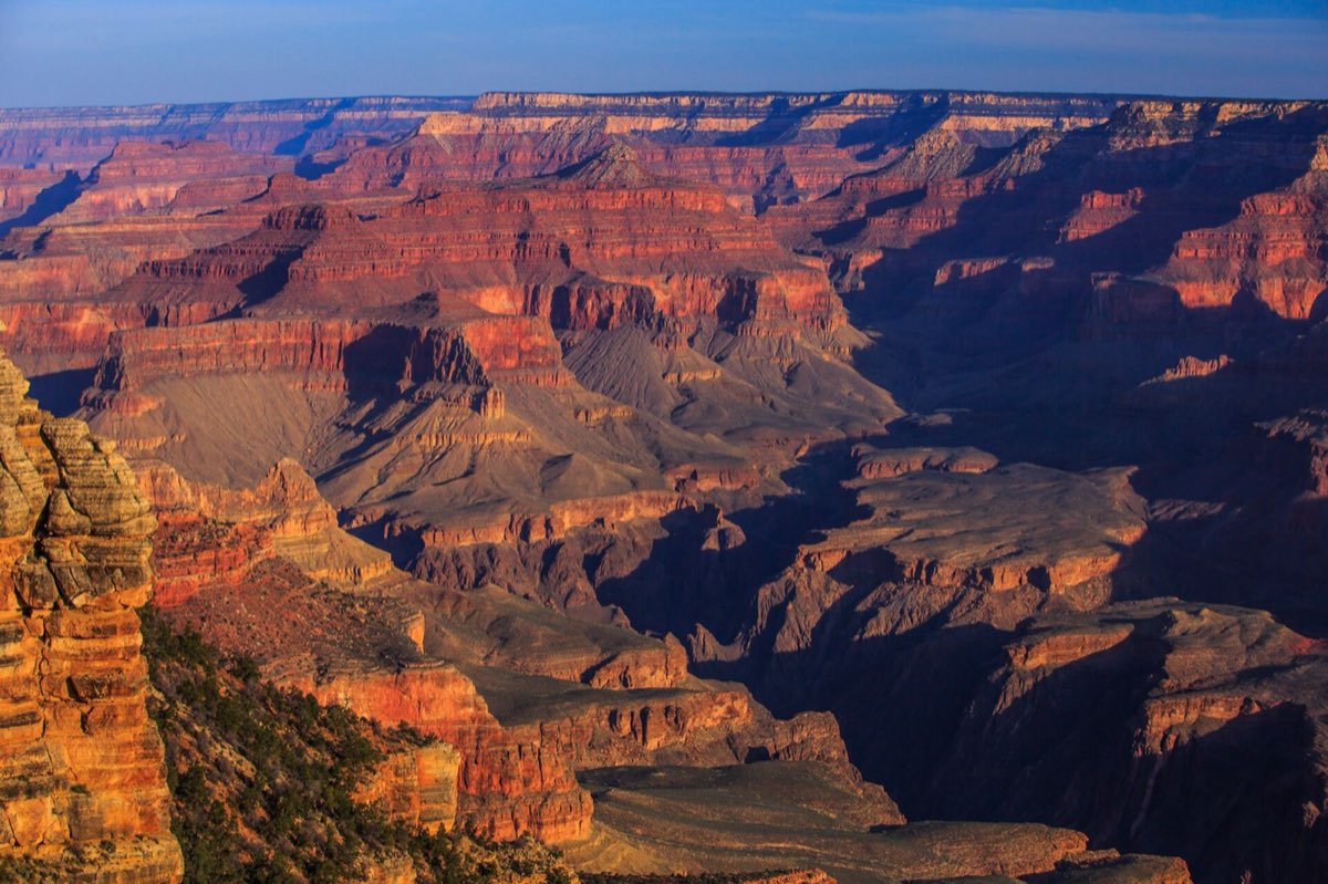
The canyon is a mile deep, up to 18 miles across and about 277 river miles long. Photographs consistently fail at it because there is nothing in frame to give it scale. The first time you walk up to the rim is worth arranging carefully, because you only get one.
South Rim or North Rim
- South Rim takes about 90 percent of visitors. It is open all year, has the most viewpoints, the free shuttle network, lodging, and the classic corridor trails. If you have not been before, go here.
- North Rim is a thousand feet higher, forested, cooler, far quieter, and closed from roughly mid-October to mid-May. It is a five-hour drive from the South Rim despite being ten miles away across the gap.
- West Rim with the glass skywalk is on Hualapai tribal land and is not part of the national park. Different ticket, different place, much closer to Las Vegas.
Location: Grand Canyon National Park, South Rim
The 3-day plan
First look, then the village and a Hermit Road sunset.
- 08:30 Mather Point Park at the main visitor center and walk two minutes to your first view. Let it land, then start the rim.
- 10:00 Yavapai Geology Museum The best labeled panorama on the rim, reached by an easy 1.5 mile walk on the Rim Trail.
- 12:00 El Tovar Hotel Lunch at the 1905 lodge on the rim. Walk the historic village after: Hopi House, Lookout Studio, Kolb Studio.
- 14:30 Bright Angel Trailhead Watch the mule trains and hikers surface from the inner canyon. Tomorrow this is you.
- 17:30 Hopi Point The widest sunset view on Hermit Road. Take the free red shuttle, the road is closed to cars March through November.
Entrances and getting there
- South Entrance (Highway 64 through Tusayan): the main gate from Williams and Flagstaff, and the one with the morning queue. Arrive before 9am or after 3pm.
- East Entrance (Desert View): the back way in from Cameron or Page, usually a shorter line, and the Desert View Watchtower makes it worth choosing in its own right.
- North Rim Entrance (Highway 67 from Jacob Lake): seasonal, roughly mid-May to mid-October.
Where to stand
Mather Point is where most people get their first look, and it is busy. Walk ten minutes along the Rim Trail in either direction and the crowd thins dramatically for a view that is essentially identical. For sunrise try Yaki Point or Mather; for sunset, Hopi Point or Yavapai. The free shuttle reaches all of them, and Hermit Road is shuttle-only for most of the year.
Going below the rim, honestly
Hiking into the canyon is the real experience, and it inverts the usual rule: the hard half is at the end, uphill, in heat, when you are tired. The park rescues people every week who went down further than their legs could bring them back.
- Bright Angel Trail to the 1.5 or 3 mile resthouse: shade, water in season, and a genuine sense of descent. A good, sane half day.
- South Kaibab to Ooh Aah Point or Cedar Ridge: the best views per step in the park. No water and little shade, so go early.
- Rim to river and back in a day: do not. The park asks you not to, and means it.
- Phantom Ranch at the bottom, or Bright Angel Campground, turn the descent into an overnight. Both need permits or a lottery booked many months ahead.
Plan on twice as long coming up as going down, start at first light in summer, and carry more water than feels reasonable. Inner canyon temperatures routinely run 20 degrees Fahrenheit hotter than the rim.
Book it and check it
- Official park page Entrance fees, opening hours, park maps and seasonal road status. https://www.nps.gov/grca/index.htm
- Current conditions and alerts Road, trail and weather status. Read this the morning you go. https://www.nps.gov/grca/planyourvisit/conditions.htm
- Recreation.gov Campsites, timed entry and permits for most federal land. https://www.recreation.gov
- Phantom Ranch lottery Bottom-of-the-canyon cabins and dorms, by lottery over a year ahead. https://www.grandcanyonlodges.com/lodging/phantom-ranch
Common questions
- What are the entrances to the Grand Canyon?
- The South Rim has two: the main South entrance at Tusayan and the quieter East entrance at Desert View. The North Rim has its own seasonal entrance on Highway 67 from Jacob Lake. The Skywalk at the West Rim is a separate Hualapai operation outside the national park.
- Which rim of the Grand Canyon is best?
- The South Rim for a first visit: open year round, most viewpoints, best transport and lodging. The North Rim is quieter and cooler but closed in winter and a five-hour drive away.
- How long do you need at the Grand Canyon?
- Two days on the South Rim covers the viewpoints and a short hike below the rim. One day is enough to see it, but not to feel it.
- Can you hike to the bottom of the Grand Canyon and back in one day?
- The park service strongly advises against it and rescues people who try. It is roughly 16 miles with 4,800 feet of climbing at the end, often in extreme heat. Do it as an overnight.
- Is the Grand Canyon Skywalk in the national park?
- No. It is at the West Rim on Hualapai tribal land, with its own admission, about four hours from the South Rim.
Tip
Summer rim temperatures are pleasant while inner canyon temperatures are dangerous. If you are planning a summer descent, check the forecast for Phantom Ranch, not for the village.